by Daniel Brouse
Chaos Theory Oceanic Teleconnection: Tropical Pacific Energy → U.S. West Coast
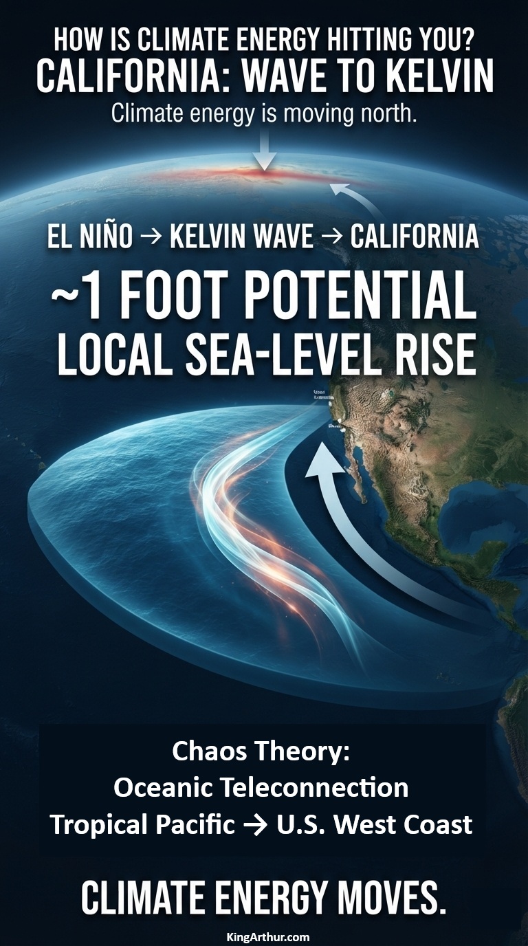
A powerful El Niño is sending a massive pulse of ocean energy north along the Pacific coast—and California could see local sea levels rise by about a foot this fall.
The Weather Channel reports that a coastally trapped Kelvin wave generated by El Niño is moving north toward California and could reach the coast by October 2026, potentially raising local sea levels by about one foot.
That sounds like a giant wave.
It isn’t.
There will be no towering wall of water suddenly approaching the beach.
Instead, scientists are watching a hundreds-of-miles-wide, relatively shallow bulge in the ocean surface—a coastally trapped Kelvin wave carrying energy northward along the Pacific coastline.
And that energy is about to matter.
The Pacific Is Moving Energy North
El Niño changes the normal pattern of tropical Pacific winds.
When the trade winds weaken or reverse, enormous amounts of warm water can accumulate and generate oceanic Kelvin waves. These waves travel eastward across the tropical Pacific. When they reach Central and South America, part of that energy is redirected northward along the coast as a coastally trapped wave.
The result is an extraordinary oceanic connection:
Tropical Pacific → South America → Mexico → California → Pacific Northwest → Alaska
NOAA describes these waves as an important oceanic teleconnection between the tropical Pacific and the U.S. West Coast.
The wave is currently moving north at roughly 6 mph, with the California coastline expected to encounter the advancing disturbance around October.
NOAA: We’ve Already Seen the First Waves
There is an important wrinkle in the story.
NOAA’s September 3, 2026 update says that Kelvin waves generated along the Equator during the spring and summer already reached California in May and June. But NOAA also says those earlier waves are not the main event. According to NOAA Fisheries, their impacts on the West Coast are expected to be minor compared with what may occur during the fall and winter. Scientists are now watching for stronger coastally trapped waves associated with the developing El Niño.
In other words:
California has already received the first pulse.
The larger pulse is coming.
About a Foot of Extra Water
NOAA describes the sea-level effect of these waves as typically being on the order of 15 centimeters—about 6 inches. But that is not necessarily the upper limit of what California can experience during a major El Niño. The Weather Channel’s current reporting puts the potential local sea-level increase from the incoming wave at about one foot.
Why Inches Become Important
A foot of additional coastal water doesn’t have to arrive as a storm surge to cause problems.
It simply makes the starting point higher.
Then add:
- an exceptionally high tide,
- large Pacific swells,
- a coastal storm,
- low atmospheric pressure,
- already-rising background sea level,
- and a coastline that is increasingly exposed to erosion.
The same wave that might have remained below a vulnerable threshold under normal conditions can suddenly push water onto beaches, roads, low-lying neighborhoods and other infrastructure. Higher coastal water also gives incoming waves a higher platform from which to attack beaches, dunes, cliffs and coastal infrastructure.
A Wave You Can’t See Coming
That is what makes the Kelvin wave so interesting. You can’t stand on the beach and see it approaching. It doesn’t have a crest. It doesn’t suddenly break.
The ocean simply becomes higher.
The disturbance can stretch hundreds of miles along the coastline while traveling northward, shifting enormous amounts of ocean water and redistributing energy across the Pacific basin. And because the wave can persist for weeks, its effects can overlap with other coastal hazards. Another wave can even follow behind it.
Climate Energy Doesn’t Stay Put
This is the bigger lesson. Climate energy does not simply accumulate where it first appears.
It moves through the Earth system. A change in tropical Pacific winds generates a Kelvin wave. The wave crosses an ocean. It encounters the Americas. Its energy turns north. The ocean surface rises. Coastal waters warm. Upwelling changes. Storm impacts can become more consequential. And suddenly something that began thousands of miles away in the tropical Pacific is affecting the elevation of the ocean along the California coast.
That’s climate energy hitting you. Not necessarily as hotter air. Not necessarily as a hurricane. Not necessarily as a heat wave. Sometimes it arrives as a foot of extra ocean beneath the next high tide.
Wave to Kelvin
The coming California event is a powerful example of the interconnected nature of the climate system. The first Kelvin waves have already reached California. NOAA says the more significant impacts are expected during fall and winter. The Weather Channel reports that the incoming wave could raise local sea levels by about a foot when it reaches California this fall.
The ocean is carrying energy from the tropics toward the coast.
You won’t see the wave coming.
But you may see what happens when it gets there.
Wave to Kelvin.